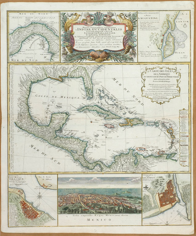
Johann Baptist Homann, Indiae Occidentalis, Carte des Isles de L'Amerique, 1731.
The 17th and 18th century engraved maps of the Caribbean displayed here are only meant to provide a wider regional context for the manuscript maps of the Oriente region that follow in this section. They form part of the corpus of modern published atlases by cartographers, geographers, engravers and printers of northern Europe during the early modern and modern periods. They were part the greater project of mapping and knowing every corner of the world that became increasingly compelling with the discovery of a "New World," the expansion of Europe, the emergence of new technologies and the early scientific age. The center of the modern map trade in the 17th century was in the Low Countries but around the mid 17th century the began to shift to France where cartography acquired a new scientific rigour during the 18th century. Despite its vast overseas empire, Spain never became a center in the European map trade nor publish any atlas of its New World territories. The published maps of the Caribbean displayed in this page are
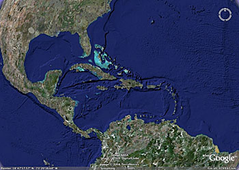
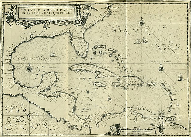
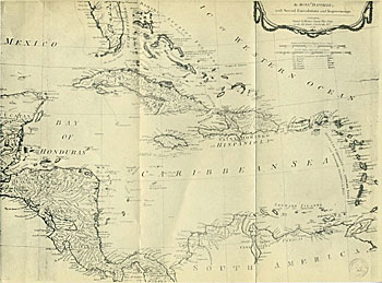
by Dutch engraver and cartographer Joannes Jansson (above right), French geographer and cartographer Jean Baptiste Bourguignon d'Anville (lower right) and German geographer and cartographer Johann Baptist Homann, Imperial Geographer of the Roman Empire (above). Homann's map of the West Indies is surrounded by town plans of various Spanish fortified ports in the West Indies and surrounding region: Santo Domingo (Hispaniola), Veracruz (Mexico), Saint Agustine (Spanish Florida) and the Isthmus of Panama. A view of the capital city of Mexico highlights the map's depiction of a part of the Spanish empire. Although the Caribbean maps on the right are depicted in black and white the outline of the islands in all three maps was rendered in various colors to indicate the different European colonial powers to which the territories belonged. Note the different names utilized to depict the region; only d'Anville's map translated into English (1788) uses the term "Caribbean Sea." Early maps such as these were usually made by copying earlier maps and updating information related to the areas represented. Contrary to the rest of the Spanish maps in this section, these maps were published in print shops and were the product of commercial enterprises (some are in the market to this day as antiques). Spanish manuscript maps and charts such as those displayed in the next pages were hand drawn and colored and had a different use. They were more narrowly focused and rarely portrayed such a wide regional area. Does the satellite view of theCaribbean region (above right) produced by modern technology constitute a map?
|
 |
< 1 >

Contemporary satellite view of the Caribbean.

Joannes Jansson, Map of the Caribbean, 1656.

Jean Baptiste d'Anville, M ap of the Caribbean, 1788.
OF RELATED INTEREST
West Indies, d'Anville et als. 1794 (color map)
General Maps, Library of Congress
Atlases: Geography & Maps, Library of Congress
|
